RAW Logbook Preparation · Marsden Cove Marina35°50′S 174°28′E 21:07 UTC+13 178 days to go // Members

Work in progress We prepare and add to this site every day. A lot is still missing, but it will be finished before we set sail.

Place 072 / 115

Tuamotus

Fakarava, Rangiroa

Chapter
06 · Patagonia, Antarctica and the Pacific
When
Dec 2033–Jan 2034
Position
16°03′S 145°37′W
Status
Planned
Tuamotus
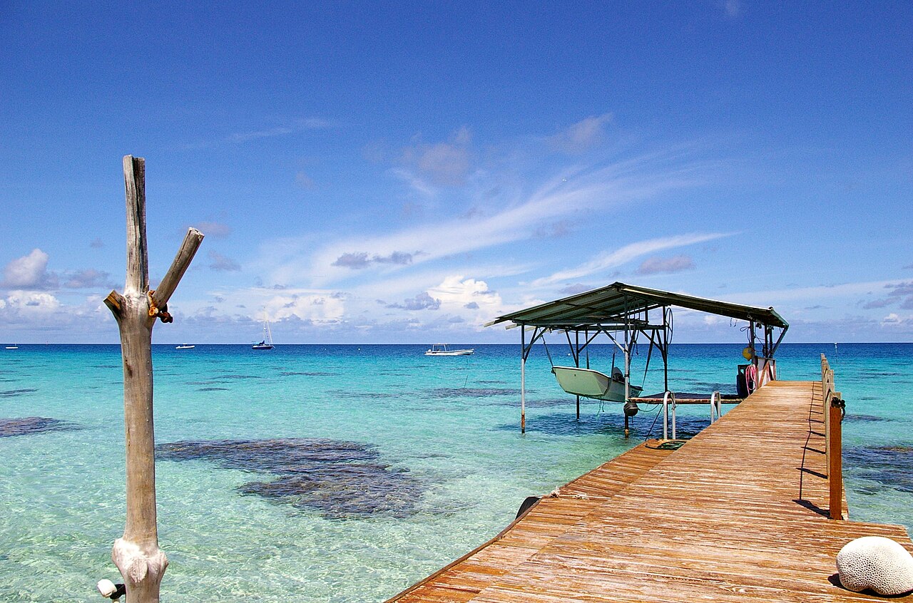
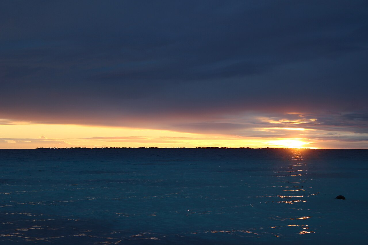
Fig. 072.1 Tuamotus Reference photograph, before RAW arrives. Photo: Frédéric Jacquot · CC BY-SA 2.5 · Wikimedia Commons
Why it’s unique01
Culture and history02
Placemaking03
Diving and water04
Photography05

01 Why it’s unique

The largest chain of atolls in the world, about 76 rings of coral around lagoons. Rangiroa’s lagoon is about 75 km long, one of the largest on earth, and Fakarava and its neighbours form a UNESCO biosphere reserve.

02 Culture and history

Culture and history: Tuamotus
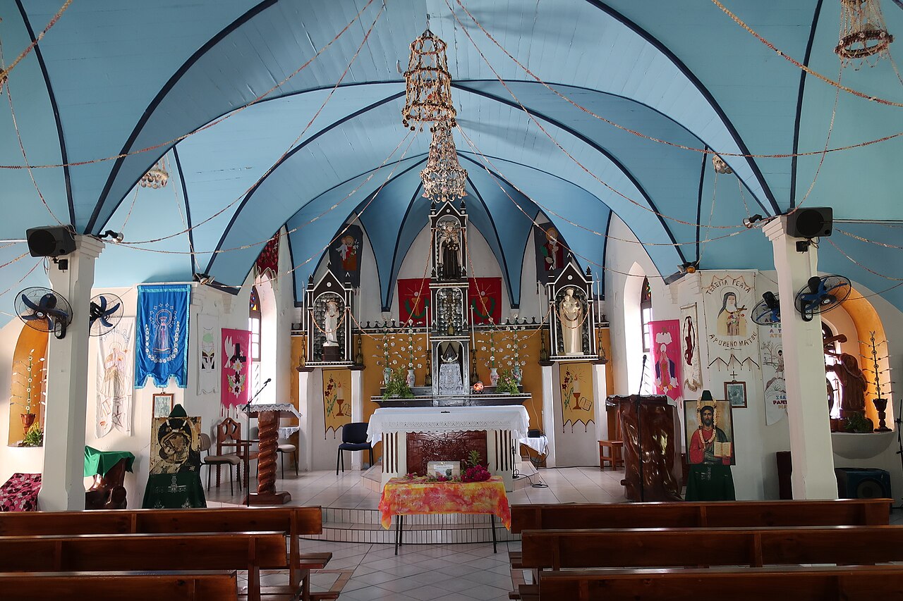
Fig. 072.2 Photo: Wmpearl · CC0 · Wikimedia Commons

The Paumotu people have their own language and navigational traditions. Missionaries built churches from coral blocks in the 19th century, and since the 1960s black-pearl farming has become the main livelihood. The region also carries the memory of France’s nuclear tests at Moruroa and Fangataufa atolls between 1966 and 1996.

03 Placemaking

Placemaking: Tuamotus
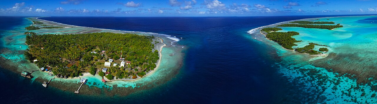
Fig. 072.3 Photo: Tahitipix · CC BY-SA 4.0 · Wikimedia Commons

An atoll village such as Rotoava on Fakarava runs along a single road on a strip of sand a few hundred metres wide, with houses facing the calm lagoon and the ocean side left wild. The reef passes are the gateways that structure everything: arrival, fishing and daily life.

04 Diving and water

Diving and water: Tuamotus
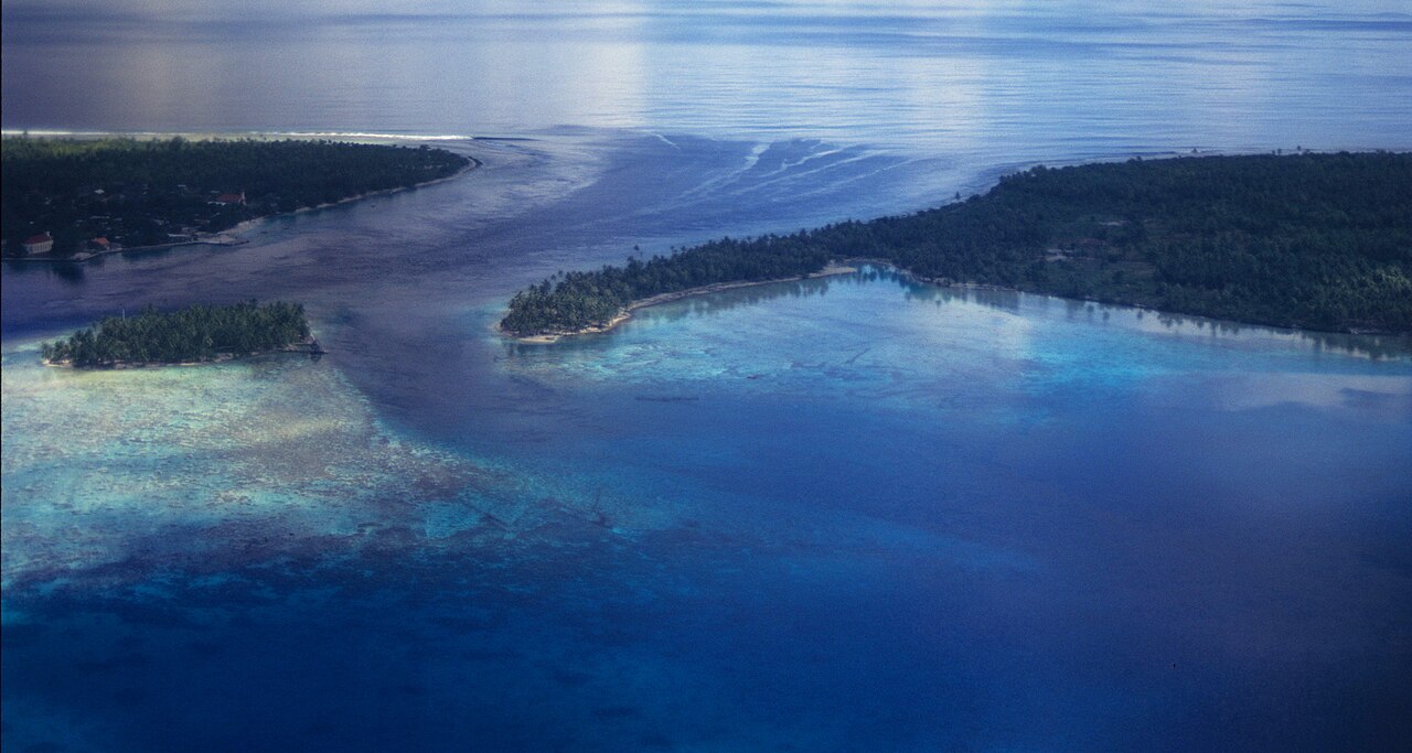
Fig. 072.4 Photo: Derek Keats · CC BY 2.0 · Wikimedia Commons

Fakarava’s South Pass (Tumakohua) is famous for its “wall of sharks”, hundreds of grey reef sharks holding in the current; the North Pass (Garuae) is the widest in French Polynesia. At Rangiroa’s Tiputa Pass, bottlenose dolphins often approach divers.

05 Photography

Photography: Tuamotus
Fig. 072.5 Photo: Fanny98716 · CC BY-SA 4.0 · Wikimedia Commons

Pink-sand beaches at the south end of Fakarava; pass dives on the incoming tide for the clearest water; pearl farmers grafting oysters; the immense flat lagoon at sunset.

Text: the voyage plan, last updated 04.11.2026. Places and timings may change with the weather and circumstances.

Are you here?

Meet us in Tuamotus

We plan to be here in Dec 2033–Jan 2034. If you live here, sail nearby or know this place well, we would like to hear from you before we arrive.

Local knowledge

From people who know Tuamotus

No tips yet. If you know this place, tell others what not to miss: a person, a workshop, an anchorage, a festival, a walk.

Share what you know

A small task before sending, so we know you are a person.

We read each tip before it appears here. Privacy