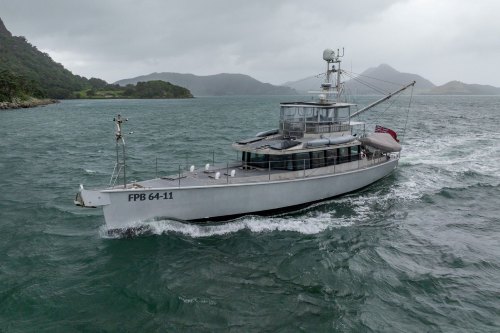
RAW Logbook Preparation · Marsden Cove Marina35°50′S 174°28′E 21:06 UTC+13 178 days to go // Members

Work in progress We prepare and add to this site every day. A lot is still missing, but it will be finished before we set sail.

Chapter 01 / 09

The South Pacific and Micronesia

We begin with the passage to Fiji and spend the southern winter there, because the islands to the north are not entered before the typhoons end. In October we go north across the equator to Micronesia: the stone city of Nan Madol, the wrecks of Chuuk, the stone money of Yap and the Rock Islands of Palau.

Period
May 2027 – Feb 2028
Distance
5,900 nm (10,950 km)
Places
9
Status
Planned
04.1

Chart

Squares are places — click to open
Ctrl + scroll or pinch to zoom · drag to movePinch with two fingers to zoom · drag to move
110°E120°E130°E140°E150°E160°E170°E180°170°W160°W40°S30°S20°S10°S10°NTROPIC OF CAPRICORNEQUATORBay of Islands and WhangareiFijiTuvalu and KiribatiMarshall IslandsPohnpeiKosraeChuukYapPalau
Ch. 01The South Pacific and Micronesia9 places on this chart. Hover a square to read, click to open.May 2027 – Feb 2028 · 5,900 nm

The radar turns as RAW’s own does: 24 turns a minute, one every 2.5 seconds.

04.1a

Stops and stays

Planned dates for each stop in this chapter
DatesStopStayPassage
Leaves 3 May Whangarei Start
8 May – 9 May Minerva Reef 1 d 930 nm · 1,720 kmafter 5 d at sea
12 May – 22 May Savusavu, Vanua Levu 10 d 490 nm · 910 kmafter 3 d at sea
23 May – 2 Jun Taveuni and the Somosomo Strait 10 d 50 nm · 90 kmafter 1 d at sea
3 Jun – 16 Jun Vanua Balavu, northern Lau 13 d 100 nm · 190 kmafter 1 d at sea
18 Jun – 1 Jul Fulaga, southern Lau 13 d 150 nm · 280 kmafter 2 d at sea
3 Jul – 6 Jul Levuka, Ovalau 3 d 180 nm · 330 kmafter 2 d at sea
7 Jul – 20 Sep Savusavu: the base for the season 2½ mo 80 nm · 150 kmafter 1 d at sea
23 Sep – 28 Sep Rotuma 5 d 330 nm · 610 kmafter 3 d at sea
1 Oct – 8 Oct Tuvalu: Funafuti 7 d 280 nm · 520 kmafter 3 d at sea
12 Oct – 20 Oct Kiribati: Tarawa 8 d 700 nm · 1,300 kmafter 4 d at sea
22 Oct – 12 Nov The Marshall Islands: Majuro 3 wk 360 nm · 670 kmafter 2 d at sea
17 Nov 2027 – 10 Jan 2028 Kosrae and Pohnpei: Nan Madol 8 wk 800 nm · 1,480 kmafter 5 d at sea
13 Jan – 18 Jan Chuuk Lagoon 5 d 380 nm · 700 kmafter 3 d at sea
23 Jan – 3 Feb Yap 11 d 830 nm · 1,540 kmafter 5 d at sea
5 Feb – 10 Mar Palau 5 wk 260 nm · 480 kmafter 2 d at sea

Planned dates, not bookings. Passages at a cruising 8 knots, about 190 nm a day, with days added for weather windows; distances are stop to stop. We leave between 1 and 31 May 2027, when the weather and everything else allow. The dates that follow move with the day we cast off.

04.2

Itinerary

When · route · distance · culture and history
WhenRouteDistanceCulture and history
May 2027–Jan 2028Whangarei → Fiji → Tuvalu and Kiribati → Marshall Islands → Kosrae and Pohnpei~4,450 nm (~8,250 km)
Jan–Mar 2028Chuuk → Yap → Palau~1,450 nm (~2,700 km)
Leg total~5,900 nm (10,950 km)
04.3

Places

9 places in this chapter
001 Bay of Islands and Whangarei, New Zealand Bay of Islands and Whangarei, New Zealand May 2027
35°16′S 174°07′E
The voyage begins where modern New Zealand began.
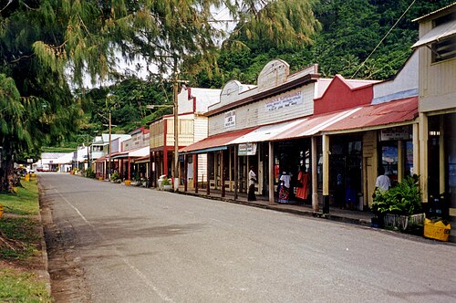
002 Fiji FijiSavusavu, Taveuni, Lau Group, Yasawas May–Sep 2027
16°47′S 179°20′E
More than 330 islands, about a third of them inhabited, where village protocol still governs how a visitor arrives.
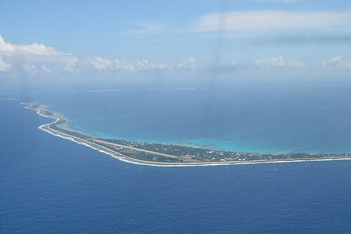
003 Tuvalu and Kiribati Tuvalu and KiribatiFunafuti and Tarawa Oct 2027
8°31′S 179°12′E
Two nations of low coral atolls strung along the equator, nowhere more than a few metres above the sea.
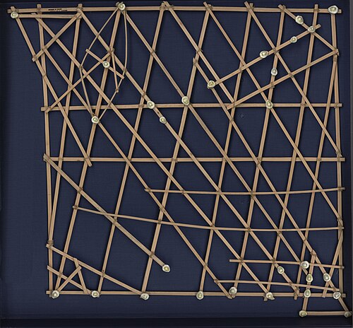
004 Marshall Islands Marshall IslandsMajuro Oct–Nov 2027
7°05′N 171°23′E
Twenty-nine atolls and five islands scattered across about 2 million km² of ocean, with an average height of about 2 m above the sea.
005 Pohnpei Pohnpei Nov 2027–Jan 2028
6°58′N 158°13′E
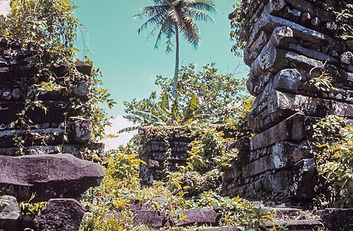
Nan Madol, a city of nearly 100 artificial islets built of basalt on the reef off Temwen Island, is one of the great archaeological sites of the Pacific (UNESCO, 2016).
006 Kosrae Kosrae Nov 2027–Jan 2028
5°19′N 162°59′E
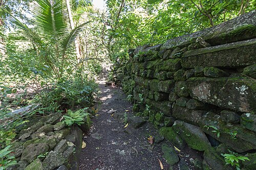
A high, rainforested volcanic island that very few travellers reach.
007 Chuuk (Truk Lagoon) Chuuk (Truk Lagoon) Jan 2028
7°25′N 151°47′E
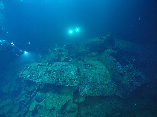
A lagoon of about 2,100 km² holding the world’s greatest concentration of Second World War wrecks.
008 Yap Yap Jan–Feb 2028
9°31′N 138°08′E
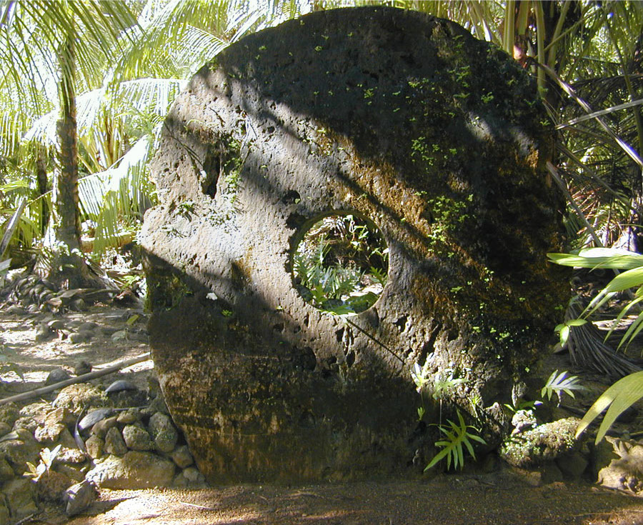
The home of rai, stone money: limestone discs up to about 3.5 m across, quarried in Palau and carried 400 km by canoe and raft.
009 Palau Palau Feb–Mar 2028
7°20′N 134°29′E
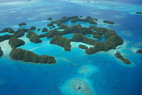
The Rock Islands Southern Lagoon (UNESCO, 2012), about 445 uninhabited limestone islands shaped like mushrooms by the sea.