01 Why it’s unique
Twenty-nine atolls and five islands scattered across about 2 million km² of ocean, with an average height of about 2 m above the sea. Few countries are more exposed to sea-level rise.
02 Culture and history
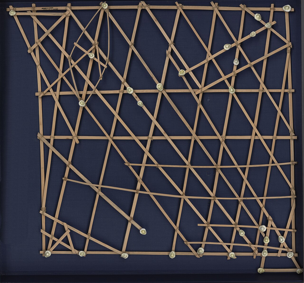
Marshallese navigators crossed this ocean for some 2,000 years by reading how swells bend around islands, and taught it with stick charts: frameworks of coconut-leaf ribs with shells marking islands. The islands were a German colony from 1885, a Japanese mandate after the First World War and a US-administered territory after the Second. Between 1946 and 1958 the United States carried out 67 nuclear tests at Bikini and Enewetak; the 1954 Castle Bravo test contaminated Rongelap and other atolls, and its legacy shapes politics here today. Independence came in 1986 under a Compact of Free Association with the US. Land passes through the mother’s line, and fine woven mats (jaki-ed) remain treasured gifts.
03 Placemaking
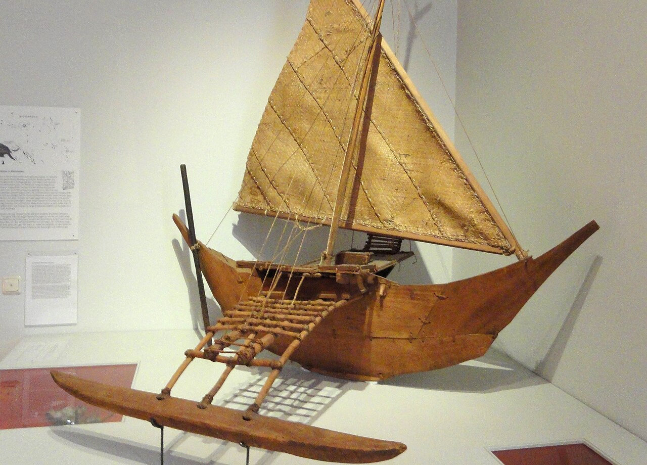
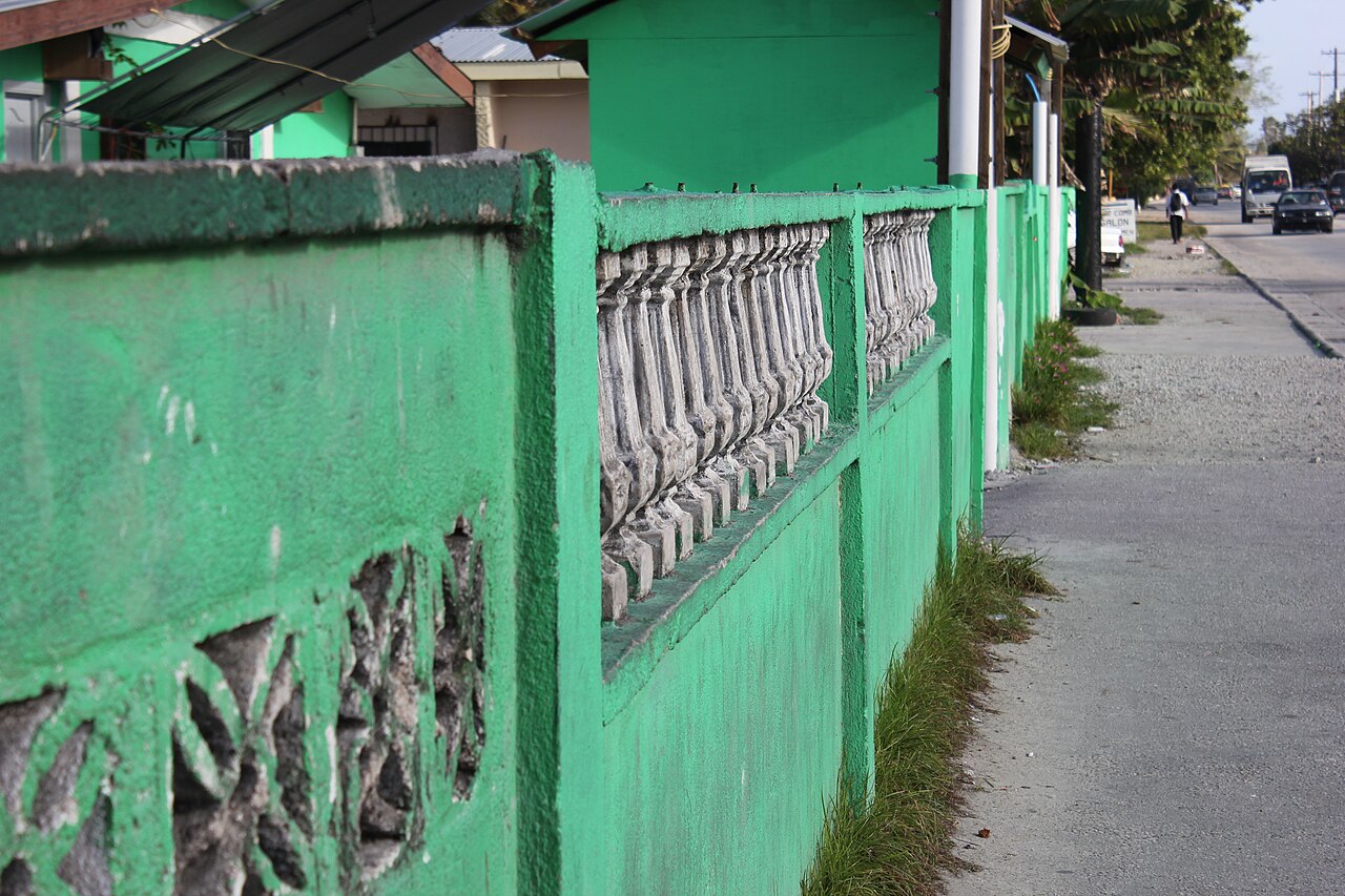
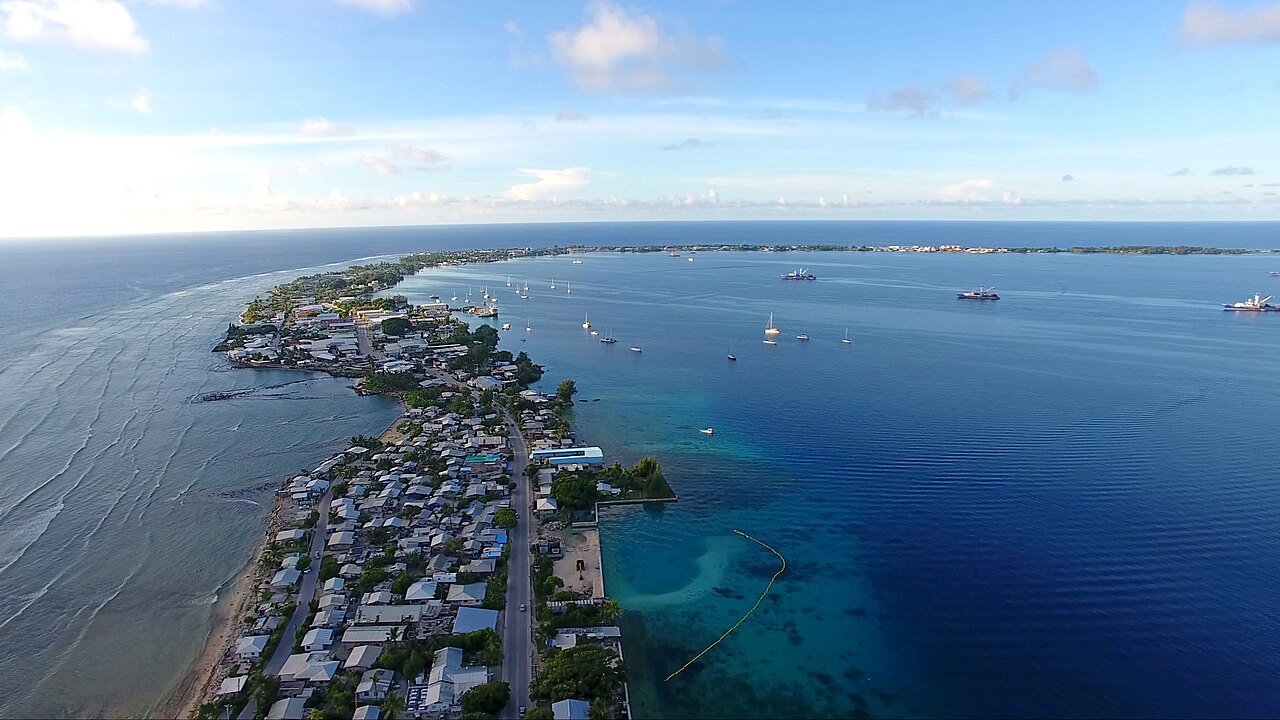
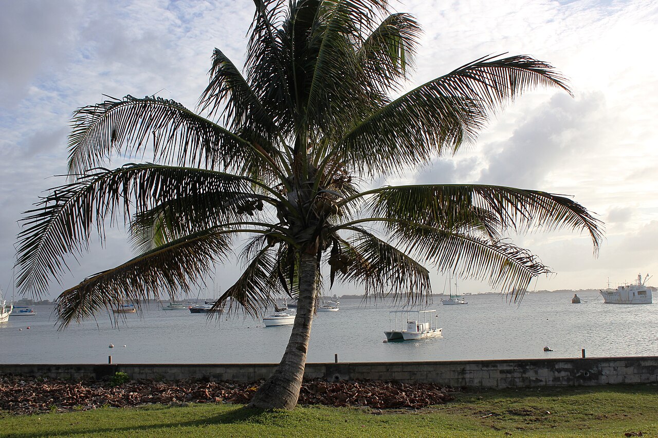
Majuro is a city one road wide: a single road of about 50 km runs along the thin crescent of islets, from the crowded Delap-Uliga-Djarrit centre to the quieter village of Laura at the far end. Seawalls, raised house floors and land reclamation show how a nation adapts space to rising water. Waan Aelõñ in Majel (“Canoes of the Marshall Islands”) teaches young people to build and sail traditional outrigger canoes, and the Alele Museum keeps the finest stick charts.
04 Diving and water
Lagoon and outer-reef dives off Majuro and neighbouring Arno. Bikini Atoll (UNESCO, 2010) holds the nuclear “ghost fleet”, including the aircraft carrier USS Saratoga and the Japanese battleship Nagato, but it can only be visited by special arrangement.
05 Photography
Outrigger canoes under sail in the lagoon; Laura beach at sunset; the contrast between dense Majuro and empty sea on both sides; Japanese wartime ruins on outer atolls such as Mili and Maloelap.