RAW Logbook Preparation · Marsden Cove Marina35°50′S 174°28′E 21:06 UTC+13 178 days to go // Members

Work in progress We prepare and add to this site every day. A lot is still missing, but it will be finished before we set sail.

Place 005 / 115

Pohnpei

Chapter
01 · The South Pacific and Micronesia
When
Nov 2027–Jan 2028
Position
6°58′N 158°13′E
Status
Planned
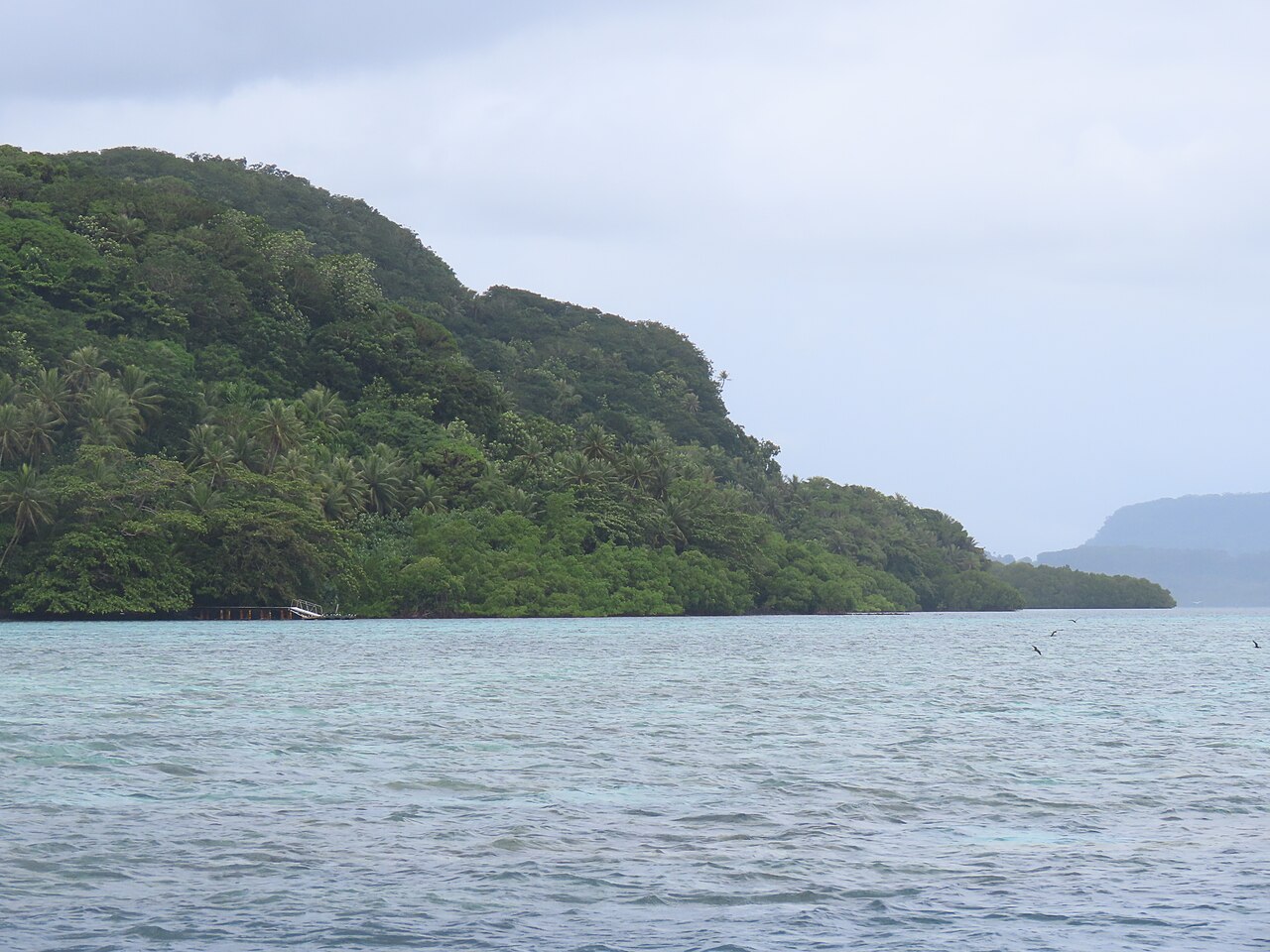
Pohnpei
Fig. 005.1 Pohnpei Reference photograph, before RAW arrives. Photo: NOAA · Public domain · Wikimedia Commons
Why it’s unique01
Culture and history02
Placemaking03
Diving and water04
Photography05

01 Why it’s unique

Nan Madol, a city of nearly 100 artificial islets built of basalt on the reef off Temwen Island, is one of the great archaeological sites of the Pacific (UNESCO, 2016). Pohnpei’s mountainous interior is also one of the wettest places on earth.

02 Culture and history

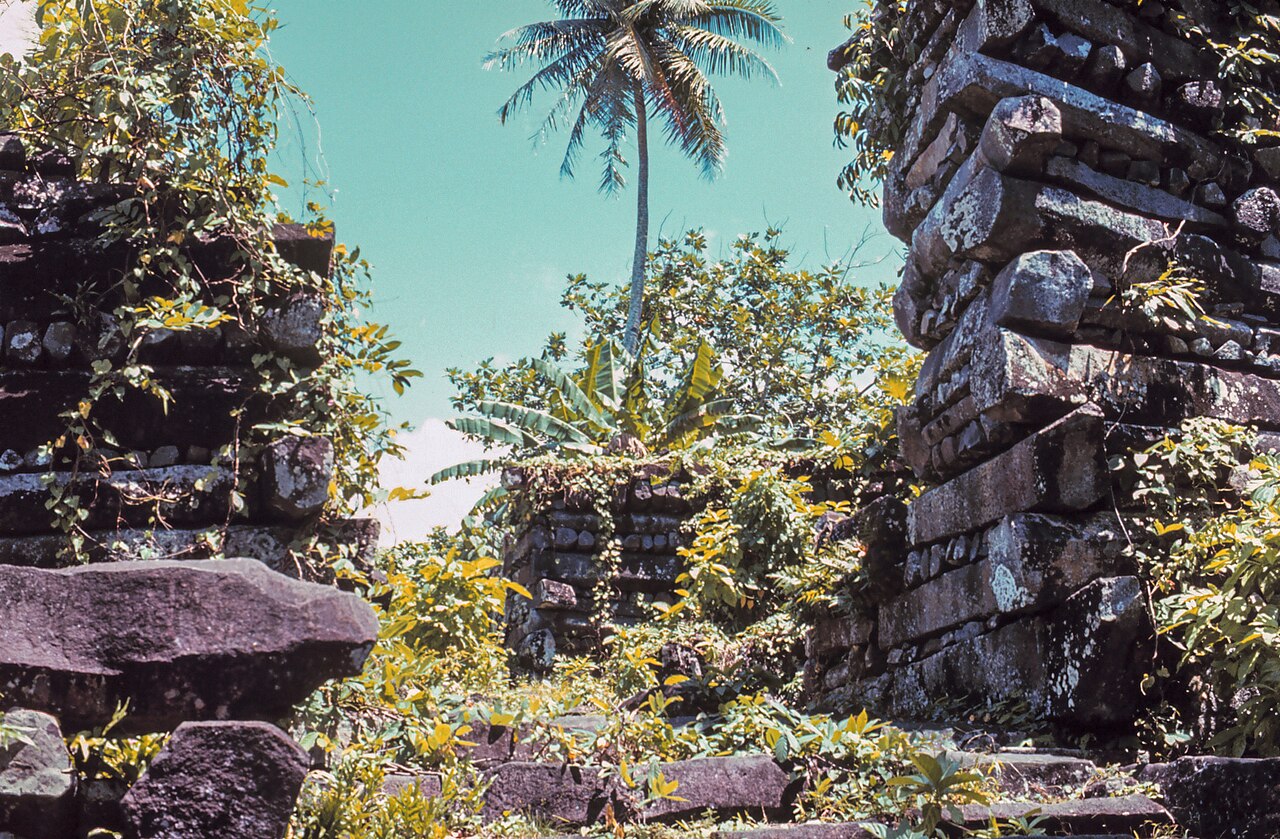
Culture and history: Pohnpei
Fig. 005.2 Photo: Patrick Nunn · CC BY-SA 4.0 · Wikimedia Commons

Nan Madol was the seat of the Saudeleur dynasty, which unified Pohnpei from around 1100 until it was overthrown in the 1600s by the warrior Isokelekel; the system of chiefly titles that followed (headed by the Nahnmwarki) still operates. Sakau (kava) is pounded on flat stones and shared in the nahs, the community feast house, at every important event. Kolonia, the main town, keeps a Spanish wall and a German church bell tower, reminders of the Spanish and German colonial periods; the Sokehs Rebellion against German rule in 1910–1911 is a point of local pride.

03 Placemaking

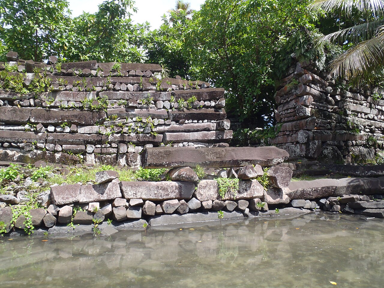
Placemaking: Pohnpei
Fig. 005.3 Photo: Uhooep · CC BY-SA 4.0 · Wikimedia Commons

Nan Madol was laid out in two sectors, a ceremonial and mortuary area and an administrative and residential area, with canals instead of streets and walls of basalt columns stacked in alternating layers. The nahs remains the island’s civic building, where feasts, title ceremonies and decisions take place.

04 Diving and water

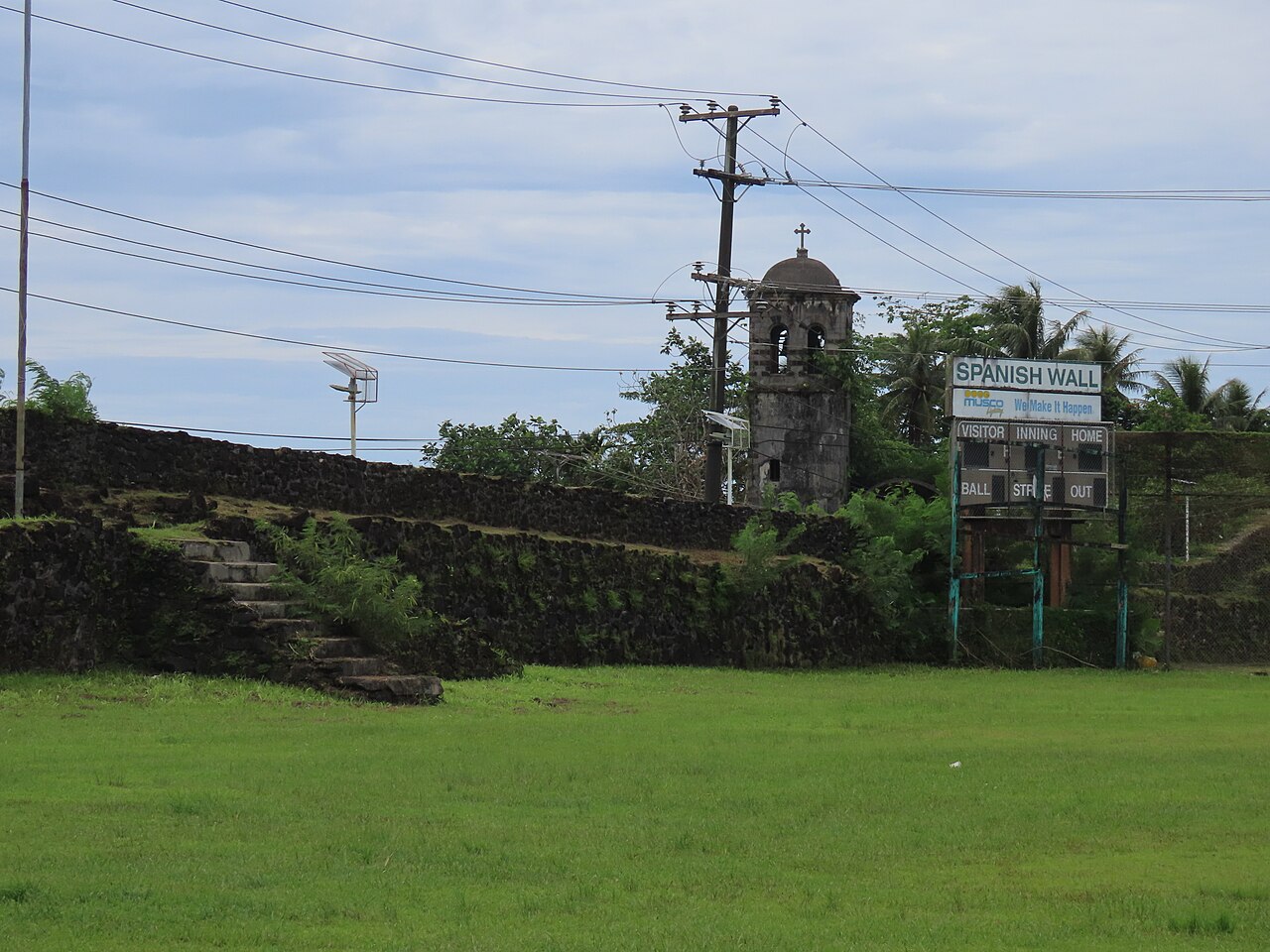
Diving and water: Pohnpei
Fig. 005.4 Photo: Uhooep · CC BY-SA 4.0 · Wikimedia Commons

Manta rays along “Manta Road”; Ant and Pakin atolls offshore for pristine reefs and sharks; Palikir Pass (P-Pass) is a world-class surf break.

05 Photography

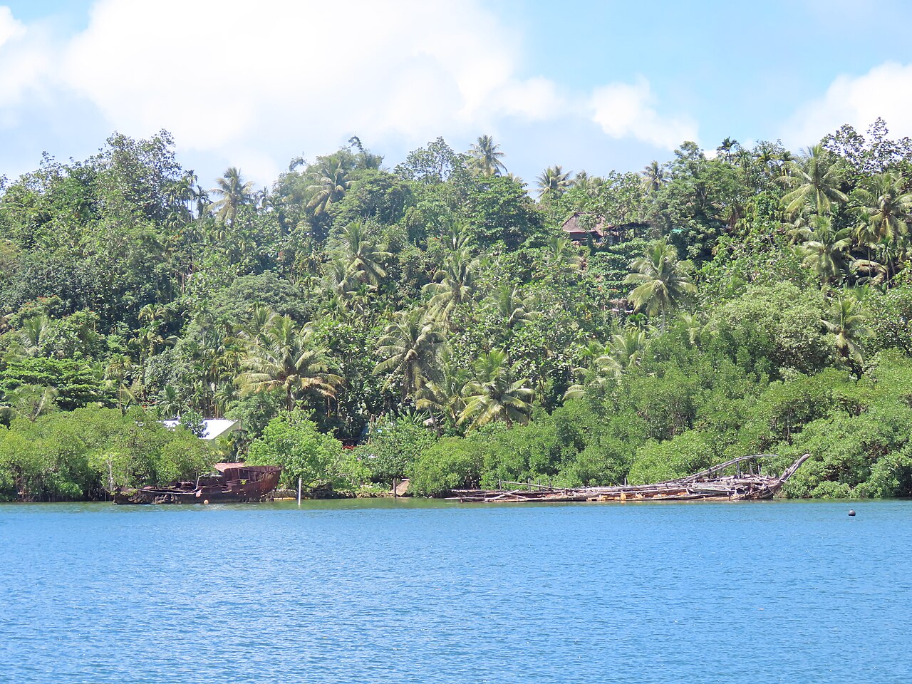
Photography: Pohnpei
Fig. 005.5 Photo: Uhooep · CC BY-SA 4.0 · Wikimedia Commons

Nan Madol by kayak at high tide, when the canals are full; Kepirohi Falls; Sokehs Rock above the harbour; a sakau ceremony (with permission).

Text: the voyage plan, last updated 04.11.2026. Places and timings may change with the weather and circumstances.

Are you here?

Meet us in Pohnpei

We plan to be here in Nov 2027–Jan 2028. If you live here, sail nearby or know this place well, we would like to hear from you before we arrive.

Local knowledge

From people who know Pohnpei

No tips yet. If you know this place, tell others what not to miss: a person, a workshop, an anchorage, a festival, a walk.

Share what you know

A small task before sending, so we know you are a person.

We read each tip before it appears here. Privacy