RAW Logbook Preparation · Marsden Cove Marina35°50′S 174°28′E 21:06 UTC+13 178 days to go // Members

Work in progress We prepare and add to this site every day. A lot is still missing, but it will be finished before we set sail.

Chapter 08 / 09

Indonesia and the Indian Ocean

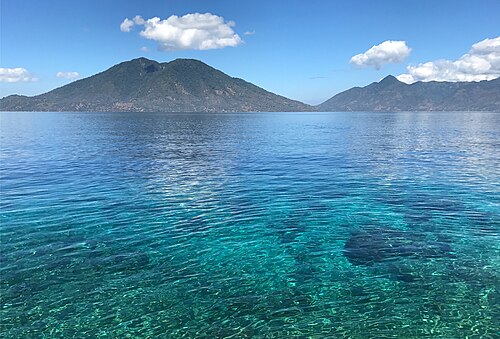
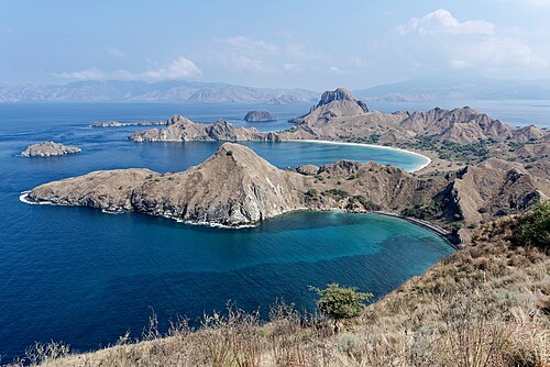
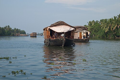
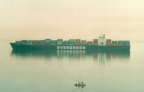
Indonesia from east to west at the end of the dry season: Sumba, Komodo, Bali, the orangutans of Borneo, Java and the west coast of Sumatra. With the winter monsoon we cross to Sri Lanka and Kerala and on to the Red Sea, which RAW goes through only if it has clearly reopened to yachts; otherwise she is carried to the Mediterranean by ship.

Period
Sep 2035 – Apr 2036
Distance
8,650 nm (16,000 km)
Places
6
Status
Planned
01.1

Chart

Squares are places — click to open
Ctrl + scroll or pinch to zoom · drag to movePinch with two fingers to zoom · drag to move
60°S30°S30°N60°NARCTIC CIRCLETROPIC OF CANCERTROPIC OF CAPRICORNANTARCTIC CIRCLEEQUATORTimorKomodoJavaSumatraKeralaOman
Ch. 08Indonesia and the Indian Ocean6 places on this chart. Hover a square to read, click to open.Sep 2035 – Apr 2036 · 8,650 nm

The radar turns as RAW’s own does: 24 turns a minute, one every 2.5 seconds.

01.1a

Stops and stays

Planned dates for each stop in this chapter
DatesStopStayPassage
8 Sep – 9 Sep Ashmore Reef 1 d 530 nm · 980 kmafter 3 d at sea
10 Sep – 18 Sep Kupang, Rote and Sumba 8 d 150 nm · 280 kmafter 1 d at sea
19 Sep – 22 Sep Alor 3 d 150 nm · 280 kmafter 1 d at sea
24 Sep – 10 Oct Komodo and Flores 16 d 320 nm · 590 kmafter 2 d at sea
12 Oct – 15 Oct Lombok and the Gili islands 3 d 260 nm · 480 kmafter 2 d at sea
16 Oct – 5 Nov Bali 20 d 70 nm · 130 kmafter 1 d at sea
9 Nov – 16 Nov Kumai, Borneo: the orangutans 7 d 450 nm · 830 kmafter 4 d at sea
18 Nov – 20 Nov Belitung 2 d 290 nm · 540 kmafter 2 d at sea
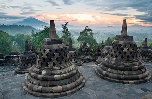
22 Nov – 28 Nov Java: Karimunjawa, Borobudur and Yogyakarta 6 d 300 nm · 560 kmafter 2 d at sea
1 Dec – 5 Dec The Sunda Strait: Krakatoa and Ujung Kulon 4 d 330 nm · 610 kmafter 3 d at sea
8 Dec – 22 Dec West Sumatra: Padang and the Mentawai Islands 14 d 420 nm · 780 kmafter 3 d at sea
24 Dec 2035 – 4 Jan 2036 Nias and Simeulue 11 d 250 nm · 460 kmafter 2 d at sea
7 Jan – 27 Jan Sabang, Pulau Weh 20 d 330 nm · 610 kmafter 3 d at sea
2 Feb – 2 Mar Sri Lanka: Trincomalee and the cultural triangle 4 wk 880 nm · 1,630 kmafter 6 d at sea
5 Mar – 16 Mar Kerala: Kochi and the backwaters 11 d 520 nm · 960 kmafter 3 d at sea
23 Mar – 28 Mar Salalah, Oman 5 d 1,330 nm · 2,460 kmafter 7 d at sea
1 Apr – 5 Apr Djibouti 4 d 720 nm · 1,330 kmafter 4 d at sea
11 Apr – 19 Apr Hurghada and the northern Red Sea 8 d 1,130 nm · 2,090 kmafter 6 d at sea
21 Apr – 27 Apr The Suez Canal: Suez to Port Said 6 d 230 nm · 430 kmafter 2 d at sea

Planned dates, not bookings. Passages at a cruising 8 knots, about 190 nm a day, with days added for weather windows; distances are stop to stop. We leave between 1 and 31 May 2027, when the weather and everything else allow. The dates that follow move with the day we cast off.

01.2

Itinerary

When · route · distance · culture and history
WhenRouteDistanceCulture and history
Sep–Dec 2035Ashmore Reef → Timor, Alor and Sumba → Komodo, Lombok and Bali → Kumai, Borneo → Java and the Sunda Strait~2,850 nm (~5,300 km)
Dec 2035–Apr 2036Sumatra → Sri Lanka → Kerala → Oman, the Red Sea and Suez~5,800 nm (~10,750 km)
Leg total~8,650 nm (16,000 km)
01.3

Places

6 places in this chapter